-
Recent Posts
Archives
- September 2010 (7)
- August 2010 (6)
Partners
Useful Links
Monthly Archives: August 2010
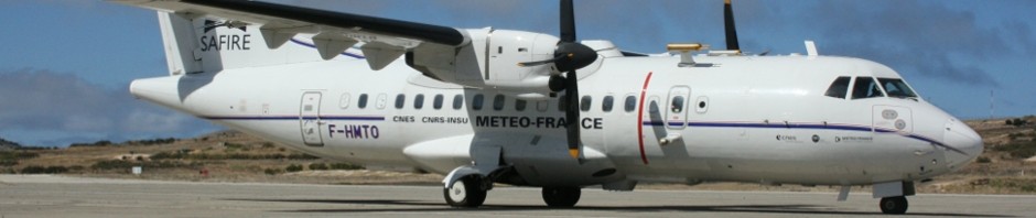
Third flight 28-08-2010
Take off: 09:45h GMT Landing: 10:55h GMT Altitude: 8800 ft Aircraft waypoints This Flight was aborted due to a power failure in Novatel GPS Receiver GPS true position
Posted in Geomad
Leave a comment
Second Flight 2010-08-27
Take off: 09:14h GMT Landing: 12:07h GMT Altitude: 9000 ft Flight Plan: This was a flight only for GEOMAD project. In this flight were 5 scientists, 3 Safire technicians and the two pilots. In the aircraft we can see real … Continue reading
Posted in Geomad
2 Comments
RTP Madeira Video
Press interview by RTP Madeira iwakesgeomad_video Video Link
Posted in Geomad
Leave a comment
First flight 2010-08-26
Take off: 12:00h GMT Landing: 16:08h GMT Altitude: 900 ft – 9000 ft Flight for iwakes to measure temperature and wind speed around the madeira island. Some Results: 1 – GPS Position 2 – 3D – Wind 3 – South … Continue reading
Posted in Geomad
Leave a comment
What we are doing…
This airborne campaign has two main goals: 1 – Measure atmospheric phenomena for “island wake” detection (air and ocean phenomena). In geophysics, “island wakes” is a term typically used to refer to atmospheric circulations induced by mountainous islands (atmospheric wakes) … Continue reading
Welcome !
News about the expedition at Porto Santo, Madeira will be updated here every day.
Posted in Geomad
Leave a comment