First flight 2010-08-26

Take off:  12:00h GMT
Landing: 16:08h GMT
Altitude: 900 ft – 9000 ft

Flight for iwakes to measure temperature and wind speed around the madeira island.

Some Results:
1 – GPS Position

2 – 3D – Wind

3 – South Temperature

True GPS position

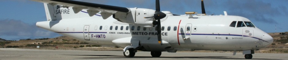
The aircraft after landing

This entry was posted in Geomad. Bookmark the permalink.

Leave a Reply

Your email address will not be published. Required fields are marked *

*

You may use these HTML tags and attributes: <a href="" title=""> <abbr title=""> <acronym title=""> <b> <blockquote cite=""> <cite> <code> <del datetime=""> <em> <i> <q cite=""> <strike> <strong>