Raw data plotted from the 3 IMU’s that we have on board
Take off: 08:37h GMT
Landing: 09:35h GMT
Altitude: 300 ft

Screenshot taken during flight

Picture taken at 300 ft.


Green – First flight (safire vol39)
Red – Second flight (safire vol40)
Yellow – Third flight (safire vol41)
Orange – Fourth flight (safire vol42)
Pink – Fifth flight (safire vol43)
Purple – sixth flight (safire vol44)
Cyan – seventh flight (safire vol45)
Take off: 14:32h GMT
Landing: 19:06h GMT
Altitude: 300 ft

Take off: 10:05h GMT
Landing: 11:09h GMT
Altitude: 300 ft


This pictures were taken in the second flight.
Flight plan for 6th flight (safire vol44)

Take off: 09:45h GMT
Landing: 10:55h GMT
Altitude: 8800 ft
Aircraft waypoints

This Flight was aborted due to a power failure in Novatel GPS Receiver
GPS true position

Take off: 09:14h GMT
Landing: 12:07h GMT
Altitude: 9000 ft
Flight Plan:

This was a flight only for GEOMAD project.
In this flight were 5 scientists, 3 Safire technicians and the two pilots.
In the aircraft we can see real time raw and computed data.

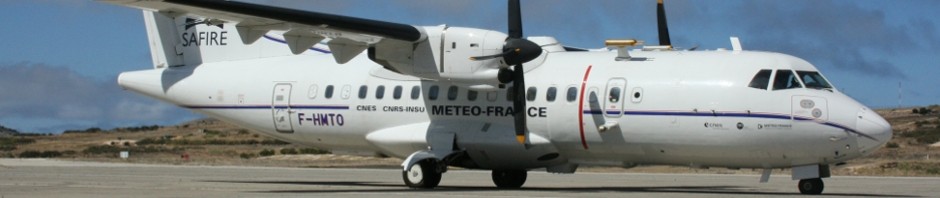
This aircraft has a hatch quartz glass where we can take fantastic pictures.

More pictures can be found in the 3rd day pictures link.
Some results:
Flight Path:

Aircraft roll (from sagem IMU)

Aircraft Pitch (from sagem IMU)

GPS true position

Press interview by RTP Madeira
iwakesgeomad_video
Video Link